How satellites see roof damage — and where they can’t
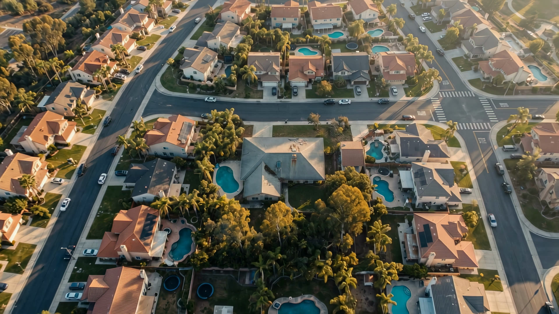
A roof inspection used to start with a ladder. For a single house it still should. For a whole city, imagery from above is the only way to know which ladder to climb first.
Resolution decides everything
The single most important number in remote roof assessment is the ground sample distance — how much ground one pixel covers. It decides what you can and can’t see.
- Around 30 cm per pixel — typical of very‑high‑resolution commercial satellites. You see the roof outline, its shape and color, large debris, tarps, and big missing sections.
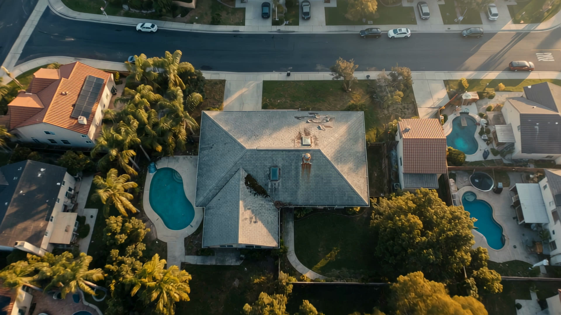
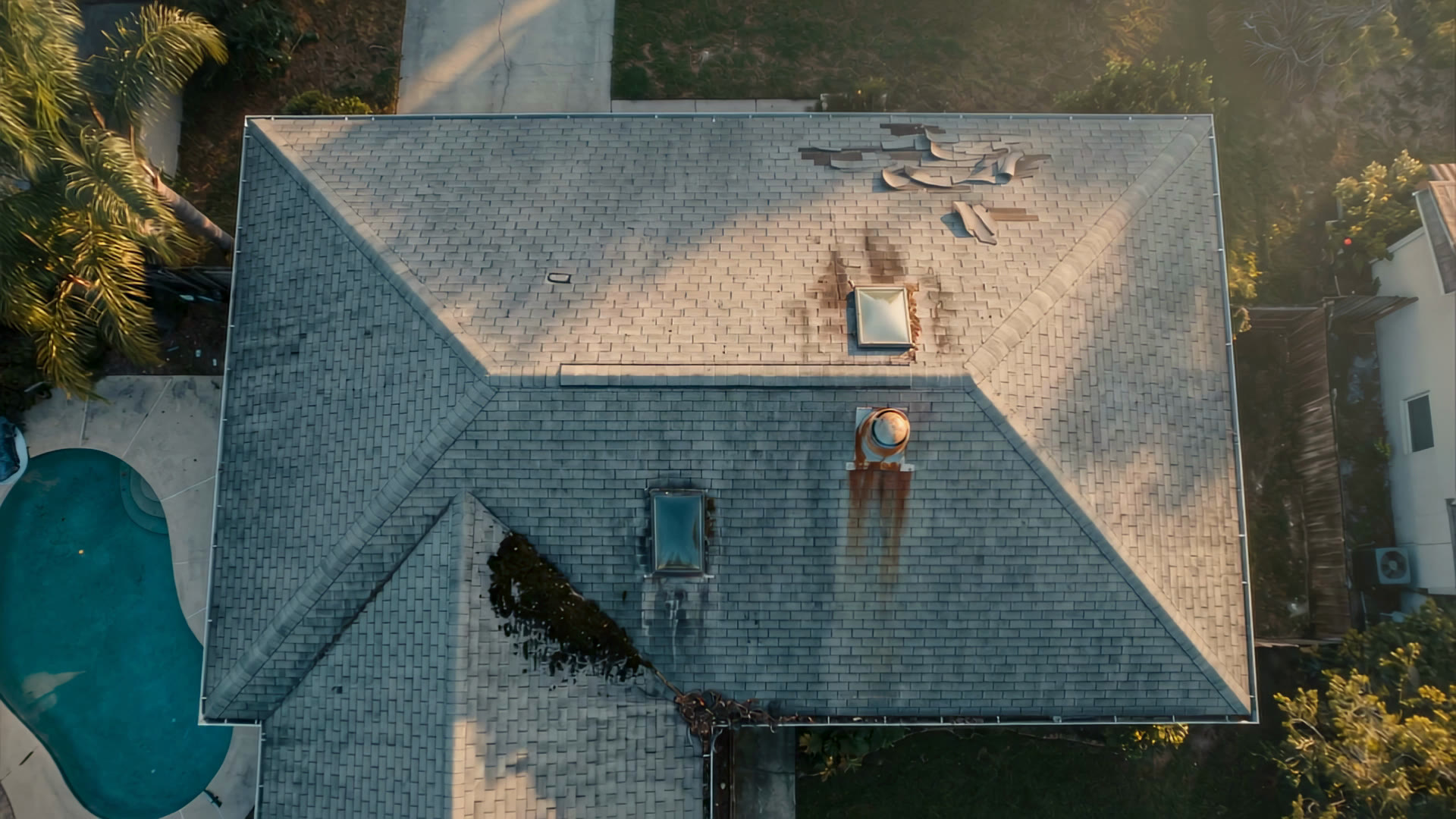
- Around 10–15 cm — individual roof planes, vents, skylights and chimneys become clear; patches of missing shingles and staining start to stand out.
- Around 5–8 cm — typical of aerial capture from aircraft. Individual rows of shingles and tiles, flashing, and the edges of small repairs.
Sharper is not automatically better. Finer imagery is captured less often and costs more per square mile, so the right resolution depends on the question: “which roofs in this county changed?” needs coverage and frequency; “what exactly is wrong with this roof?” needs detail.
What imagery shows well
Looking straight down, the most reliable signals are the ones that change a roof’s color, texture or outline:
Imagery also captures context that matters for prioritizing: overhanging trees, roof complexity, the number of planes and penetrations, solar arrays, and recent additions.
What it can’t show
Honest limits are what make remote assessment useful instead of misleading. From above you generally cannot see:
- the condition of the decking, underlayment or attic beneath intact covering;
- subtle hail bruising on asphalt shingles, which often needs a hand and a chalk circle;
- leaks that haven’t yet marked the surface;
- details hidden by trees, deep shadow, snow or cloud.
Imagery tells you where to look. An inspection tells you what you found.
Change beats a snapshot
One image of a roof is a photograph. Two images of the same roof, weeks apart, are evidence. Comparing passes removes most of the ambiguity: a dark patch that was there last month is probably a stain or a shadow; a dark patch that appeared after a storm is probably damage.
That is why a monitoring program is worth more than a one‑off survey. With a baseline in place, the question after a storm stops being “what does this roof look like?” and becomes “what is different?” — a far easier question for both people and models.
How a model reads a roof
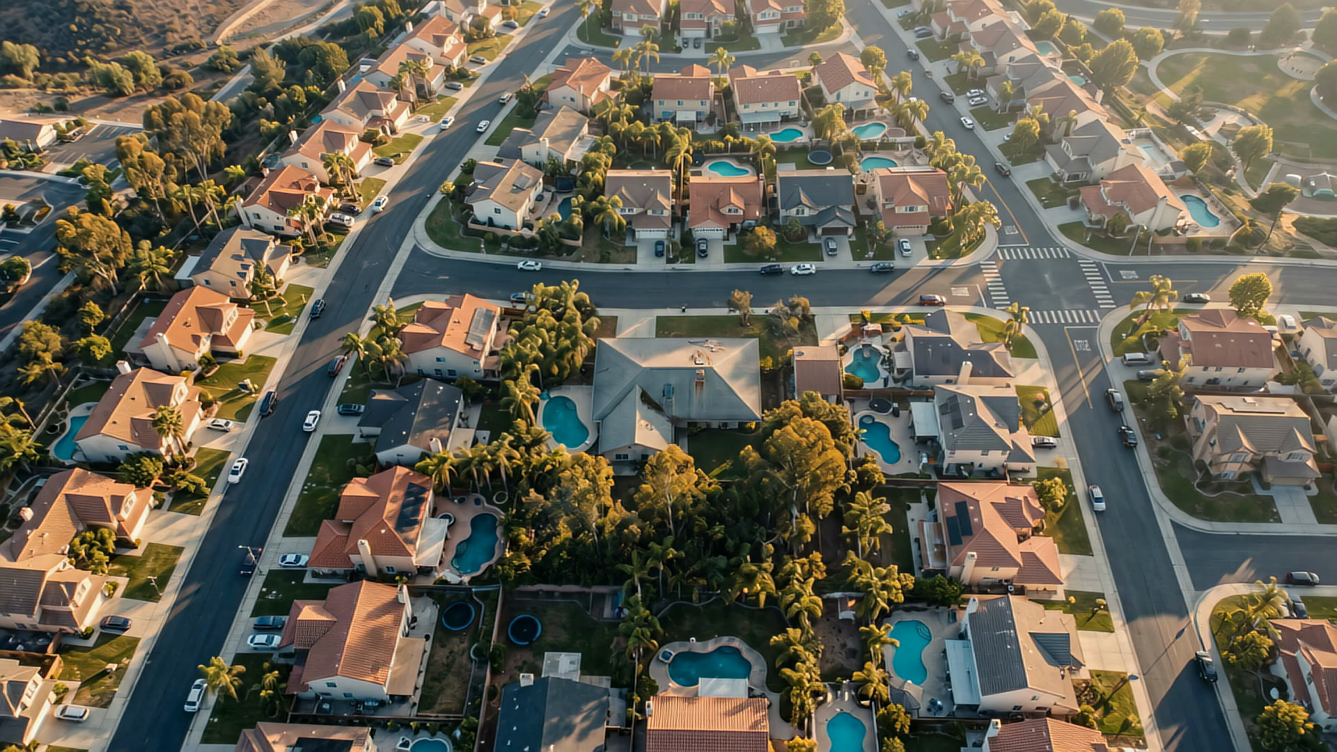
Modern roof models work in stages. First they find the roof and split it into planes. Then they look for specific defects on each plane and estimate how much area each one covers. Finally they roll that up into a condition score with a confidence attached.
At ORA we keep the stages visible: each finding is pinned to a place on the roof, so a person can check it in seconds rather than trusting a single number. Scores fall into four bands — Sound, Watch, Repair and Critical — so teams can act on a band rather than argue over a point.
Using it without over‑trusting it
- Use imagery to rank roofs, not to close a claim on its own.
- Prefer findings that show up as a change between passes.
- Check the image date and conditions before acting on a finding.
- Feed inspection results back — every confirmed finding makes the next ranking better.
Used this way, imagery from above doesn’t replace the roofer, the adjuster or the property manager. It points them at the right roof, on the right day, with a picture of what to expect when they get there.
See your market from orbit.
Every roof in your territory, scored and watched after every pass.
Keep reading